Advanced cable route planning and real-time cable lay operations
Features for both the planning phase and construction phase
The NaviSuite Beka software bundle has been implemented together with key cable lay operators to ensure state-of-the-art capabilities.
The products included in the bundle offer features for high performance 3D visualisations of your cable route survey data, allowing you to mix sonar, laser, side-scan/backscatter etc data in a single 3D view.


Key features
- For cable route planning, NaviModel Producer allows for:
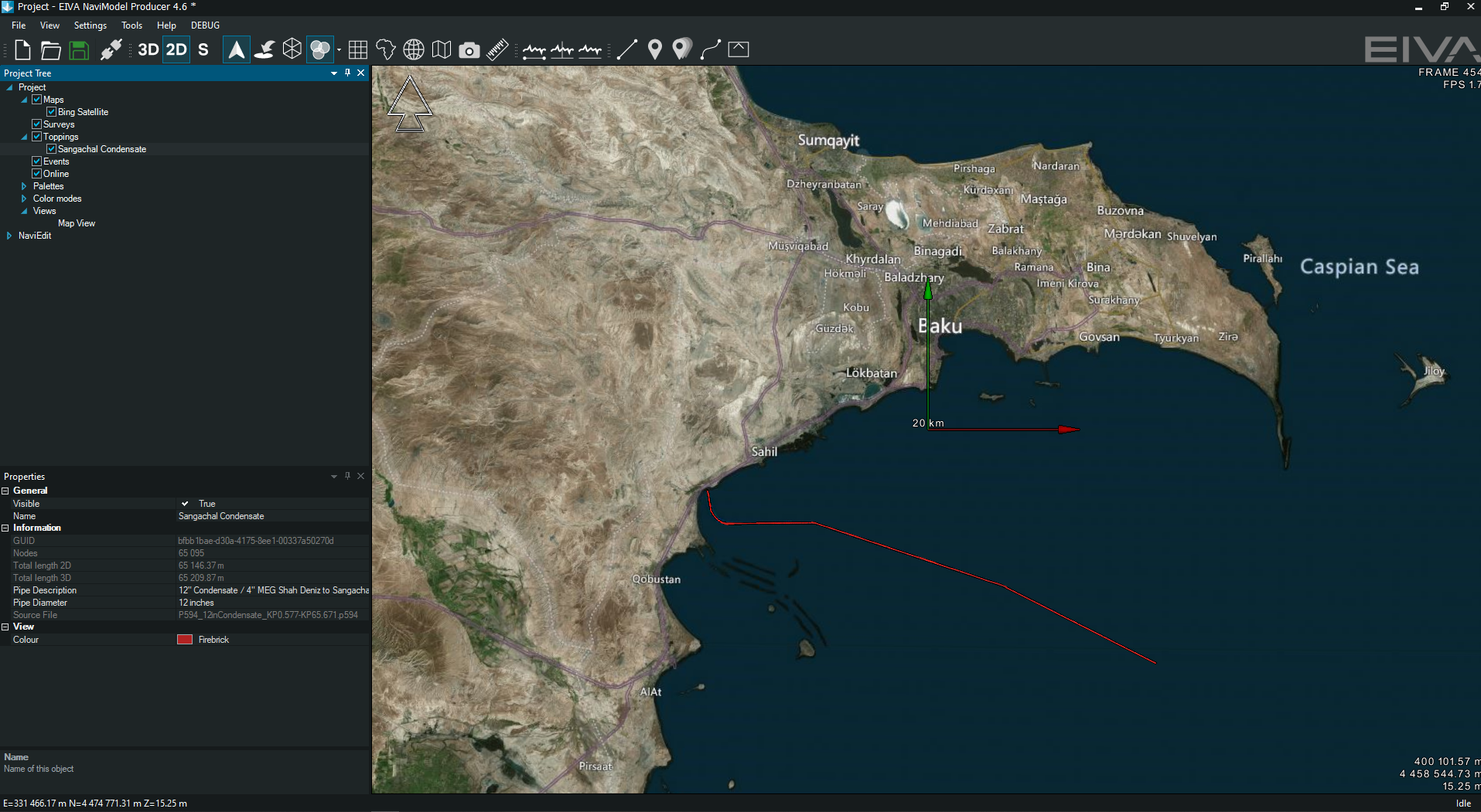
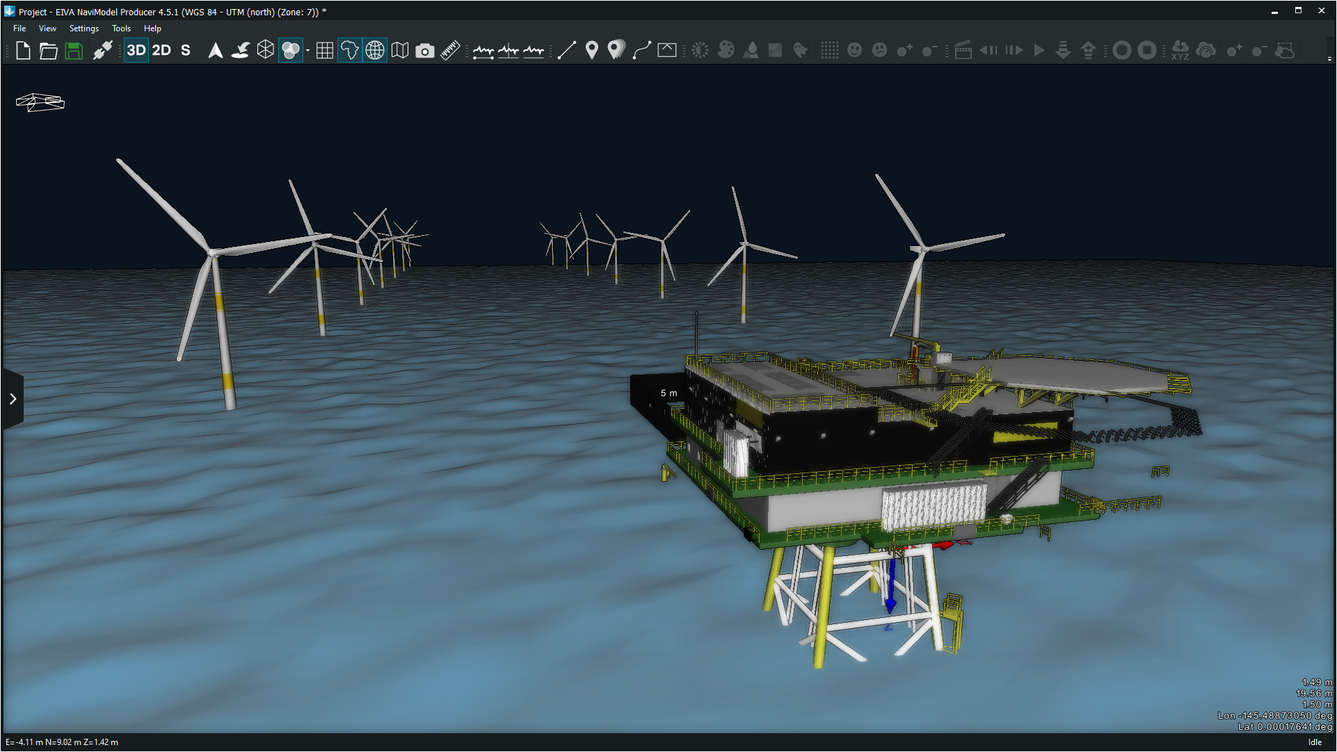
- Cable/pipe route design, with easy-to-use and very efficient route drawing tools, where the cable properties are used to drape the cable on the seabed and automatically detect free spans.
- Terrain profiles along the cable route, showing cable bending, across slope, along slope and other key parameters to enable the user to easily spot design problems.
- Vessel route simulation, calculating cable catenaries along the route, thus calculating where the vessel needs to be positioned in order to lay the cable.
- Rock dump and trenching tools, where the engineering team can easily design burial/coverage of the cable using defined cross profiles or full templates. Burials/trenches can easily be defined for fixed depths/heights or relative to terrain.
- Volume calculation, precisely calculating volume of rock dumps etc.
- Trencher movement on terrain, where the software can simulate how a trencher will move along the terrain, using a real 3D model of the trencher and calculating the actual footprint in order to verify pitch/roll of the trencher and whether the trencher can in fact move along the route.
- For the cable lay operation, NaviPac Pro or NaviModel Producer with the lay and catenary option allows for:
- Positioning of vessel, ie runline of vessel and input to DP2/autopilot
- Live position of ROV in case an ROV is used for touch down monitoring
- Live view of sonar (requires NaviScan)
- Live view of camera feed from deck cameras, ROV cameras etc
- Catenary calculation, using EIVA’s physics emulation, which will estimate tension along the cable as well as touch down point in real time.
- Interfacing of cable sensors, eg tension measurement and/or departure angle
- Automatic measurement of departure angle from LiDAR (SICK or Velodyne)